Lecture on November 13, 2020 (15h BSB time)
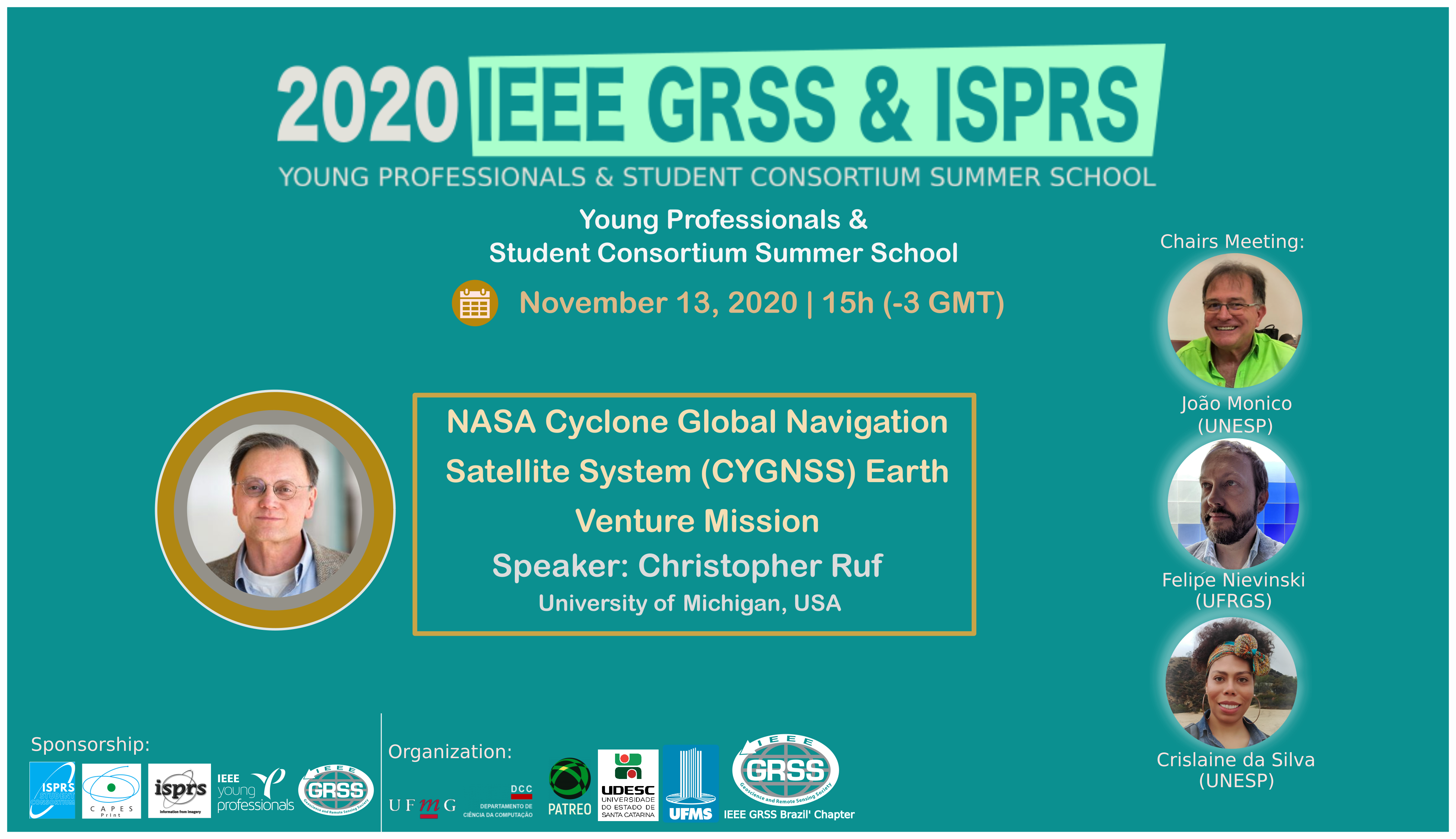
Special Lecture: NASA Cyclone Global Navigation Satellite System (CYGNSS) Earth Venture Mission
Summary. The NASA Cyclone Global Navigation Satellite System (CYGNSS) is a spaceborne mission scheduled to launch in October 2016 with a goal to study tropical cyclone (TC) inner core processes. CYGNSS attempts to resolve one of the principle deficiencies with current TC intensity forecasts, which lies in inadequate observations and modeling of the inner core. The inadequacy in observations results from two causes: 1) Much of the inner core ocean surface is obscured from conventional remote sensing instruments by intense precipitation in the eye wall and inner rain bands. 2) The rapidly evolving (genesis and intensification) stages of the TC life cycle are poorly sampled in time by conventional polar-orbiting, wide-swath surface wind imagers. CYGNSS address these limitations by combining the all-weather performance of GNSS bistatic ocean surface scatterometry with the sampling properties of a constellation of satellites. The CYGNSS constellation is comprised of 8 observatories in 510 km circular orbits at a common inclination angle of 35°. Each observatory contains a Delay Doppler Mapping Instrument (DDMI) which consists of a multi-channel GPS receiver, a low gain zenith antenna and two high gain nadir antennas. Each DDMI measures simultaneous specular scattered signals from the 4 GPS transmitters with the highest probable signal-to-noise ratio. CYGNSS measurements of bistatic radar cross section of the ocean can be related to the near surface wind speed, in a manner roughly analogous to that of conventional ocean scatterometers and altimeters. CYGNSS has spatial and temporal sampling properties that are different from conventional wide-swath polar imagers. Spatial sampling is marked by 32 simultaneous single pixel “swaths” that are 25 km wide and, typically, 100s of km long. The temporal sampling is best described by a probability distribution of the revisit time, with a median and mean values of ~3 and ~7 hours, respectively. A summary of the current mission design will be presented, including the DDMI science payload, the spacecraft, the constellation orbital architecture, the mission concept of operations, and the wind speed retrieval algorithm and performance characterization.
About the Speaker

Chris Ruf is currently Professor of Atmospheric Science and Electrical Engineering at the University of Michigan. He has worked previously at Intel Corporation, Hughes Space and Communication, the NASA Jet Propulsion Laboratory, and Penn State University. He is Principal Investigator of the NASA CYGNSS Mission. Dr. Ruf has been involved in microwave remote sensing for 33+ years, with a research emphasis on spaceborne microwave sensor design and calibration and the development and validation of ocean and atmosphere geophysical retrieval algorithms. He has contributed to the science, cal/val and engineering teams for TOPEX, GeoSat Follow On, Jason-1, SMOS, WindSat, Aquarius, GPM, SMAP and Juno. Prof. Ruf is a Fellow of the IEEE and former Editor-in-Chief of the Transactions on Geoscience and Remote Sensing. He has been the recipient of four NASA Certificates of Recognition and seven NASA Group Achievement Awards, as well as the 1997 IEEE TGRS Best Paper Award, the 1999 IEEE Resnik Technical Field Award, the 2006 IGARSS Best Paper Award, and the 2014 IEEE GRSS Outstanding Service Award.
CLICK HERE TO REGISTER IN THIS EVENT