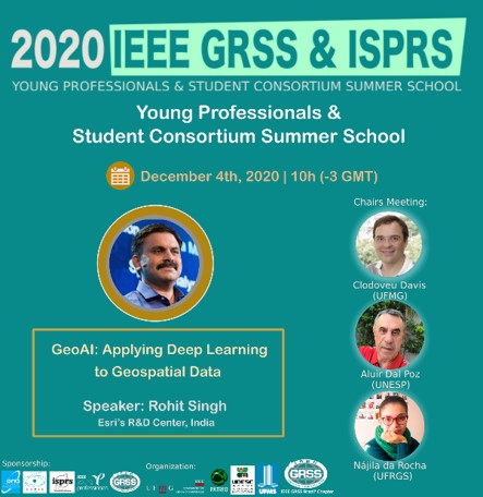
Special Lecture: GeoAI: Applying Deep Learning to Geospatial Data
Summary. This session can showcase the application of AI to different types of Geospatial datasets, such as:
• Imagery – for object detection, pixel classification and object classification, image to image translation, edge detection, inpainting, generative modeling
• 3D – for point cloud classification as well as mesh segmentation
• Unstructured Text – for extracting entities and spatial information
• Feature layers and raster datasets – for prediction and classification
My examples will be integrated with the ArcGIS platform, given my industry affiliation. I will also include examples of integration with PyTorch, Tensorflow & ONNX.
About the Speaker

As the managing director of Esri’s AI R&D Center in New Delhi, Rohit Singh leads the development of data science, deep learning and geospatial AI solutions in the ArcGIS platform. Rohit is passionate about deep learning and its intersection with geospatial data and satellite imagery. He is a graduate of the Indian Institute of Technology, Kharagpur, and has worked at computer vision startups and IBM before joining Esri. He conceptualized, designed and developed ArcGISPython API, ArcObjects Java, ArcGIS Engine Java API and ArcGIS Enterprise (Linux).
CLICK HERE TO REGISTER IN THIS EVENT