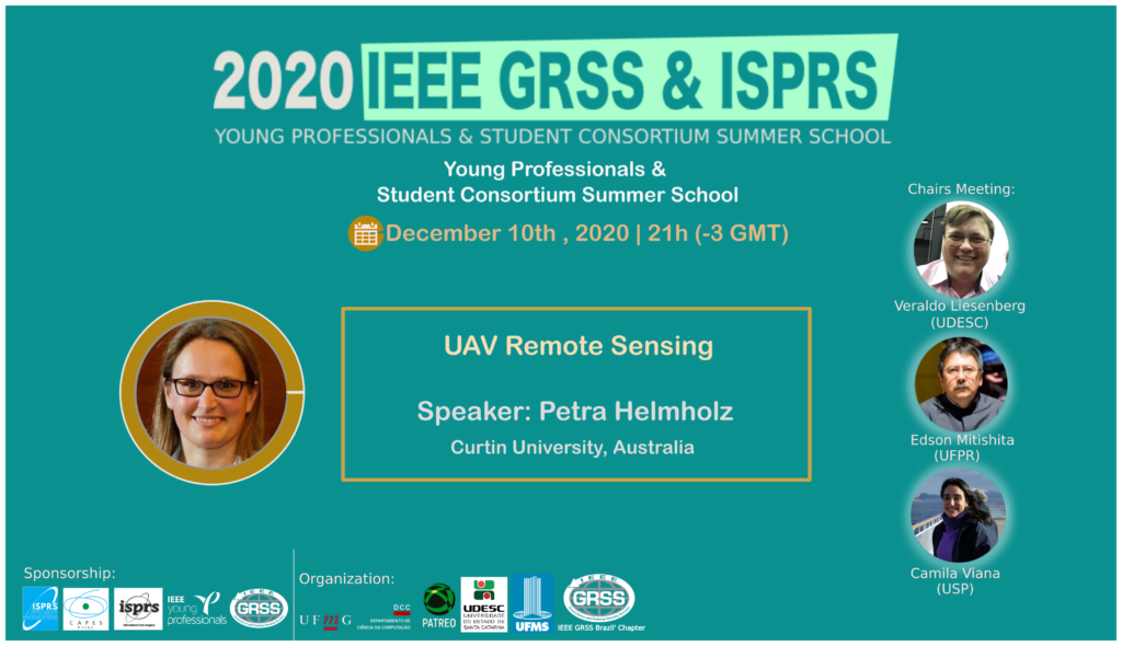
Special Lecture: UAV Remote Sensing
Summary.
In the last few years, drones have offered new opportunities for relative cheap precise mapping. They can be applied in many fields starting from stockpile volume calculation to heritage mapping to emergency response. With the increasing adoption of so-called structure-from-motion (SfM) based software systems for multi-image photogrammetric orientation, which could be described as ‘black-box’ operations, there has been a tendency for users who are not specialists in photogrammetry to under-appreciate the requirements for reliable and accurate data capture and image processing including camera calibration. Indeed, for the successful operation of drones for precise mapping end engineering applications, it is very important to consider our spatial expert knowledge of geometry, accuracy, precession, least-square adjustment, and calibration. This presentation will have a special focus on geometry aspects of establishing control for drone flights, flight planning, and camera calibration consideration. This presentation can only give you a glimpse of the bigger picture. Therefore, interested students will be able to request a student promotion code which will make the drone webinar series of the Surveying and Spatial Sciences Institute (SSSI) freely available. The link to the webinar series is:
https://sssi.org.au/sssi-community/commissions/remote-sensing-photogrammetry/events/rspc-surveying-using-drones-2020
About the Speaker
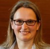
Dr. Petra Helmholz is Senior Lecturer in Photogrammetry within Spatial Sciences at Curtin University where her work includes teaching and research. Current research interests focus on application driving research using Photogrammetry in the areas of health, agriculture, heritage mapping, and engineering as well as underwater photogrammetry. She is the national chair of the SSSI Remote Sensing and Photogrammetry Commission, Associate Editor of the journal Photogrammetric Engineering and Remote Sensing (PE&RS), co-chair ISPRS Working Group I.10 and the course coordinator of the Bachelor of Surveying (BSurv) Degree at Curtin University. She has won five awards with the highlights being the 2016 Curtin University Commercial Innovation Awards for Deep Water 3D imaging, the 2017 Asia Pacific Spatial Excellent Award (Education Development), and the 2019 Western Australian Spatial Excellent Award –Spatial Enablement (Industry Award) for the project Cliniface.


